Features of GPS Map Camera
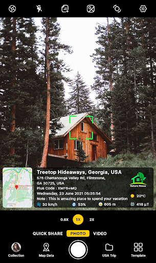
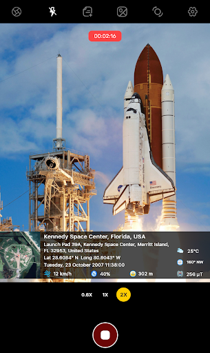
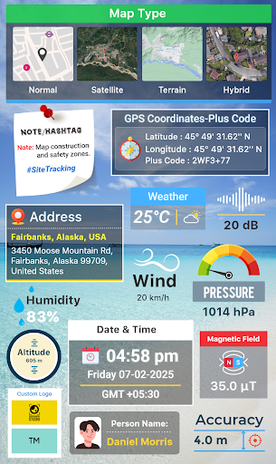
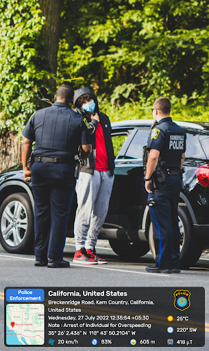
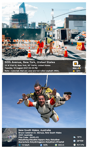
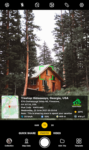
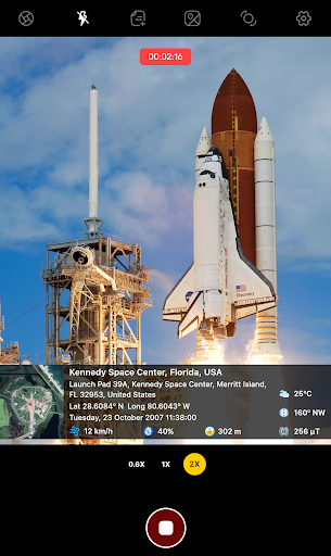
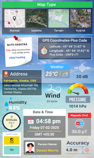
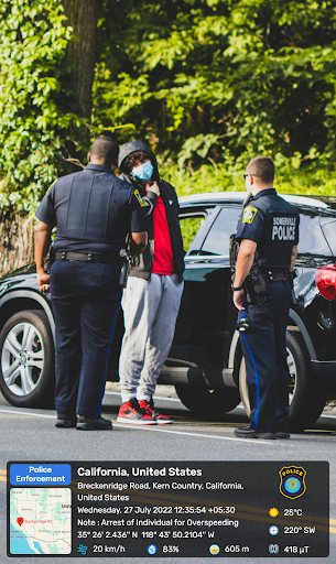
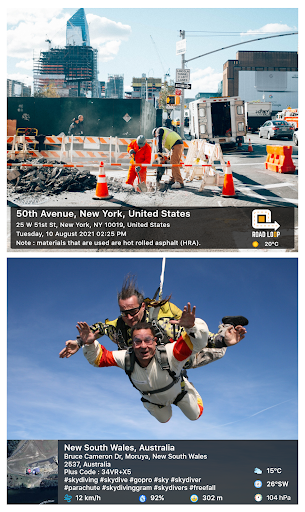
Geotagged photo overlay
Adds precise GPS coordinates, altitude and compass direction directly onto photos. Overlays are adjustable in position and opacity so location data is visible without obscuring the image.
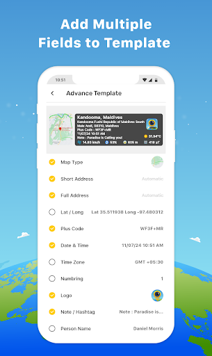
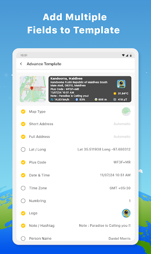
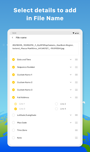
Custom timestamps and labels
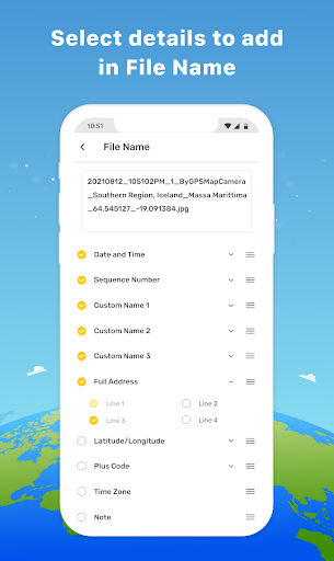
Automatic time and date stamps with optional custom text fields such as project name or notes. Formatting options let you choose font size, color and placement for consistent documentation.
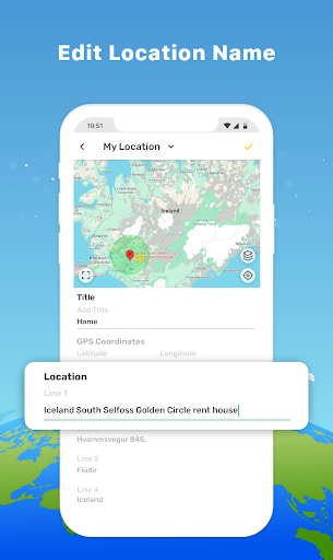
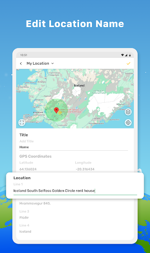
Map view and export
Built-in map view shows photo locations and routes and exports include embedded geodata or separate CSV and KML files for reporting and sharing across devices and services.