
Features of Live World Map: Satellite View
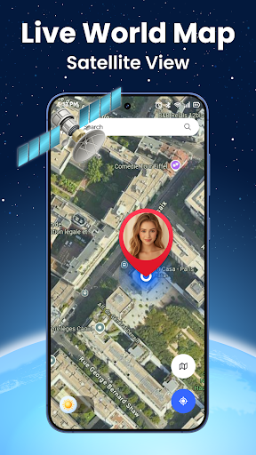
Live satellite imagery
High-resolution satellite images are presented with smooth zoom and pan interactions, offering recent earth views where available. Update frequency depends on data sources and can vary by region.
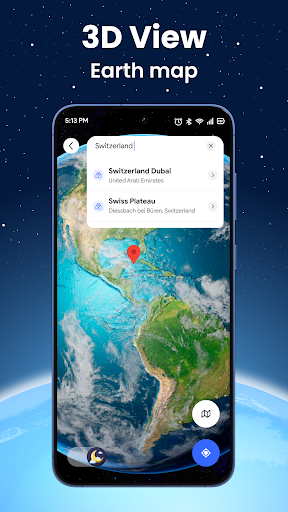
Global navigation and search
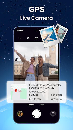
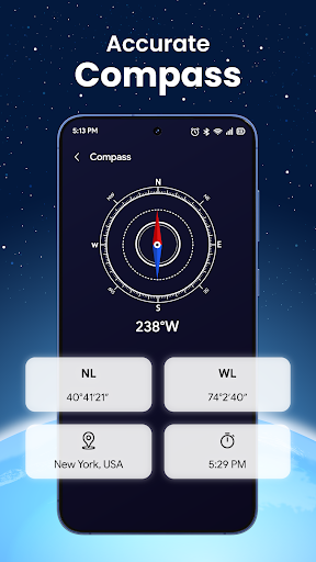
Search by place name or coordinates and drop pins to mark locations. Intuitive gestures and multi-touch controls make exploring cities and remote areas straightforward and responsive.
Layers and data overlays
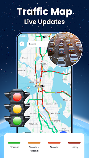
Enable overlays such as boundaries, terrain, weather and traffic to enrich the map view. Adjustable transparency helps compare layers without losing visibility of base imagery.