



What is Live Earth Map & GPS Map
Discover the planet in real-time with Live Earth Map & GPS Map, built for fast, accurate navigation across the US. Powerful satellite views, GPS tracking, and live traffic deliver an energizing, can-do experience—download now to navigate smarter and explore further.
Core Features
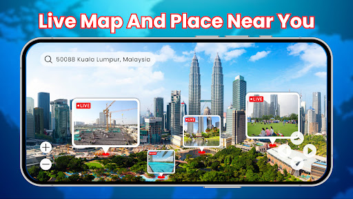
Real-time satellite imagery View near-live high-resolution satellite images to monitor weather and landscape changes across the US. Fast refresh rates and broad coverage keep maps current for commuters and outdoor enthusiasts. 🌍
Turn-by-turn GPS navigation Follow reliable voice-guided routing for driving, walking, and cycling with lane guidance and ETA updates. Routes adapt to live conditions to keep trips efficient and stress-free. 🧭
Offline maps and caching Save detailed map regions for offline use to stay on track without cellular service. Cached data includes roads, landmarks, and saved waypoints for uninterrupted navigation. 📥
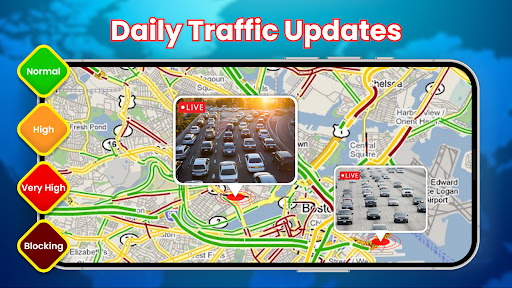
Live traffic and route updates Receive real-time traffic alerts and automatic rerouting to avoid congestion and incidents. Live overlays let users pick the fastest paths during rush hour or road closures. 🚦
Location sharing and safety alerts Share precise locations with contacts and send automated safety notifications during travel. Emergency features make coordinating pickups and meetups faster and safer. 🚨
Pros
Fast, responsive interface Smooth map panning and quick search deliver a snappy user experience on modern devices. Intuitive gestures and clear icons speed up navigation tasks. ⚡
High-quality imagery and zoom Detailed satellite photos and deep zoom levels reveal terrain, buildings, and landmarks with clarity. Imagery quality enhances planning for trips, hikes, and urban navigation. 🛰️
Customizable map layers Toggle layers for traffic, terrain, weather, and transit to tailor the map to specific needs. Layer presets make switching between driving and outdoor modes effortless. 🗺️
Cross-device sync and backups Saved locations, routes, and preferences sync across devices with cloud backup options. Seamless transitions between phone and tablet keep trips coordinated. 🔁
Granular privacy controls Permission controls allow limiting location access and opting out of personalized ads. Clear privacy settings help protect location data while retaining core features. 🔒
Cons
High battery and data consumption Continuous satellite view and GPS tracking can drain battery quickly during long sessions. Heavy image downloads may impact cellular data plans on the go. 🔋
Premium features behind subscription Advanced imagery, extended offline regions, and ad-free browsing require a paid subscription. Some must-have features are gated for power users. 💳
Image lag in remote areas Satellite refresh and routing updates can slow down in very remote or rural regions. Occasional delays may affect precision for backcountry navigation. 🌫️
Limited offline storage on free tier Free plans restrict the size and number of offline map regions that can be stored. Upgrading is necessary for extensive offline use across long trips. 📏
Ads in free version and popups Advertisements and upgrade prompts appear in the free tier and can interrupt quick lookups. Frequent popups may push users toward the paid plan. 📢
Prices
Free tier available with ads and basic mapping features to get started immediately. Premium subscription unlocks ad-free use, high-resolution imagery, and larger offline maps for about $4.99/month or $29.99/year. Lifetime upgrade options and occasional promotional discounts may be offered in-app.