

Features of Photo Location: GPS Map Camera
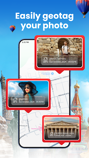
Geotagged Photos
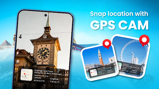
The app embeds precise GPS coordinates and timestamp into photo EXIF data so images are location aware for cataloguing, verification and later reference without relying on external notes or memory.
Map View and Navigation
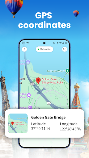
Integrated map displays photo locations, allows placing pins and switching map types. It provides coordinate readouts and simple navigation to saved spots for quick orientation in the field.
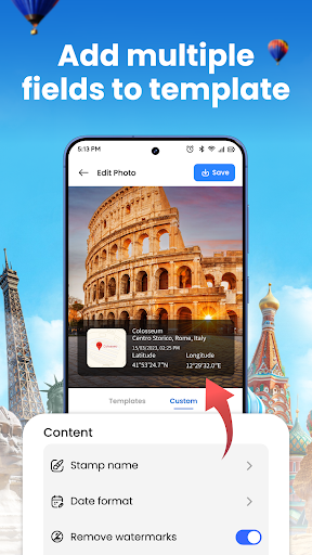
Live Camera Overlay and Export
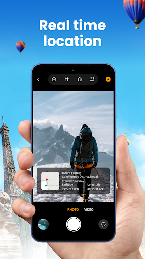
Live camera preview can show coordinates, accuracy, altitude and compass data on capture. Photos can be exported or shared with embedded location metadata for reporting and geotagged workflows.